Mars facts · Map
Mars map
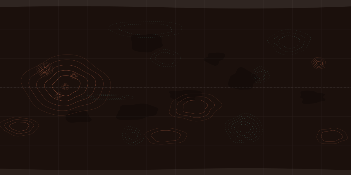
This map of Mars shows where all 10 successful landers touched down, the biggest volcanoes and canyons, and the half of Mars in night right now. Two of those spacecraft, Curiosity and Perseverance, are still working. The night side and the point where the Sun is overhead move as Mars turns, worked out in your browser.
Updated Sources (11)
Map of Mars showing where every lander and rover touched down, with the half of the planet in night right now shaded.
 Viking 1Viking 2Mars PathfinderSpiritOpportunityPhoenixCuriosity · 09:02InSightPerseverance · 05:02Zhurong · asleepRosalind Franklin · planned
Where has every spacecraft landed on Mars?
10 spacecraft have landed on Mars successfully, by NASA’s Mars24 list: nine from NASA and one, Zhurong, from China.[1] Each one is pinned on the map above. Two are still working: Perseverance in Jezero Crater and Curiosity in Gale Crater, and their pins show the time at each crater right now.
| Spacecraft | Landed | Where | Now |
|---|---|---|---|
| Viking 1NASA | Chryse Planitia22.27°N, 47.95°W | Ended | |
| Viking 2NASA | Utopia Planitia48.27°N, 134.28°E | Ended | |
| Mars PathfinderNASA, with the Sojourner rover | Ares Vallis19.47°N, 33.25°W | Ended | |
| SpiritNASA rover | Gusev Crater14.57°S, 175.48°E | Ended | |
| OpportunityNASA rover | Meridiani Planum1.95°S, 5.53°W | Ended | |
| PhoenixNASA | Vastitas Borealis68.22°N, 125.75°W | Ended | |
| CuriosityNASA rover | Gale Crater4.59°S, 137.44°E | Working | |
| InSightNASA | Elysium Planitia4.50°N, 135.62°E | Ended | |
| PerseveranceNASA rover, with the Ingenuity helicopter | Jezero Crater18.44°N, 77.45°E | Working | |
| ZhurongChina (CNSA) rover | Utopia Planitia25.07°N, 109.93°E | Asleep |
Coordinates and landing dates from NASA’s Mars24 landers list: latitude north or south of the equator, longitude east or west of Mars’s prime meridian. Dates are in UTC, so Spirit’s, Opportunity’s and Curiosity’s are a day later than the US dates NASA often gives.[1][9]
Two more landers reached the surface but went quiet, so the list leaves them out. The Soviet Union’s Mars 3 touched down on Dec 2, 1971, the first soft landing on Mars, but stopped transmitting after 14.5 seconds.[10] Britain’s Beagle 2 landed on Dec 25, 2003 and was never heard from; NASA’s Mars Reconnaissance Orbiter found it in 2015 with its solar panels only partly open.[11]
The dashed pin marks Oxia Planum, where Europe’s Rosalind Franklin rover is planned to land. ESA is targeting a launch in late 2028, with NASA providing the launch.[5] Every rover’s story, and how far each one drove, is on every Mars rover.
What are the big features on the map?
Giant volcanoes, the largest canyon in the solar system and a huge impact basin. The labels on the map mark five of them:
- Olympus Mons, the tallest known volcano in the solar system. Its base sprawls about 600 km (370 mi), and it rises about 27 km (17 mi), NASA says.[4] More on Olympus Mons.
- Tharsis, a volcanic region with three more giant volcanoes, the Tharsis Montes: Arsia Mons, Pavonis Mons and Ascraeus Mons.[7]
- Valles Marineris, the largest canyon system in the solar system, about 3,870 km (2,400 mi) long, NASA says.[3]
- Hellas, an impact basin about 2,100 km (1,300 mi) across and nearly 9 km (6 mi) deep.[8]
- Utopia Planitia, a vast plain in the north where both Viking 2 and Zhurong landed.[1]
Their sizes, and what the ground is made of, are on the surface of Mars.
Why is half of the map dark?
Because it’s night there right now. The shaded band is the half of Mars facing away from the Sun, and the small Sun marks the point where the Sun is straight overhead. Both are worked out in your browser from NASA’s Mars24 algorithm and move as Mars turns.[2] A Mars day, a SolA sol is a day on Mars — 24 h 39 min 35 s, about 40 minutes longer than ours — and rovers count them from the day they land.More in the glossary, lasts 24 h 39 min 35 s, so the band slides west across the map a little more slowly than night moves across Earth.[2]
The two working rovers’ pins show Local mean solar timeLocal mean solar time is the clock a rover team works by: the average time of day at the rover’s spot, ignoring the Sun’s seasonal drift.More in the glossary at their craters. The Mars clock has the time at every landing site.
How accurate is this map?
The pins sit at NASA’s published coordinates, but the map itself is drawn simply. It shows the whole planet from 180°W to 180°E with north at the top, latitude and longitude evenly spaced, and only the biggest features. Near the poles, this kind of map stretches the land sideways.[1]
For detail, Caltech’s Bruce Murray Laboratory stitched 110,000 pictures from the Context Camera on NASA’s Mars Reconnaissance Orbiter into a zoomable map of nearly the whole planet that anyone can browse online, NASA says.[6]
Questions
Where did Perseverance land?
In Jezero Crater, at 18.44°N, 77.45°E, on Feb 18, 2021, NASA’s Mars24 list says. Its helicopter, Ingenuity, landed with it.
Where did Curiosity land?
In Gale Crater, at 4.59°S, 137.44°E, on Aug 6, 2012 (UTC; late on Aug 5 in US Pacific time).
How many spacecraft have landed on Mars?
10, by NASA’s Mars24 list of successful landers: nine American and one Chinese, from Viking 1 in 1976 to Zhurong in 2021.
Why is part of the map dark?
It’s night there right now. The dark band is the half of Mars facing away from the Sun, worked out in your browser, and it slides west as Mars turns.
Is there a detailed map of Mars?
Yes. Caltech’s Bruce Murray Laboratory stitched 110,000 pictures from NASA’s Mars Reconnaissance Orbiter into a zoomable map of nearly the whole planet that anyone can browse, NASA says.
Sources
- NASA GISS — Mars24 Sunclock: Mars lander and rover landing sitesPrimary · checked Oct 6, 2026
- NASA GISS — Mars24 Sunclock — Technical Notes on Mars Solar TimePrimary · checked Oct 6, 2026
- NASA Science — Mars: FactsPrimary · checked Oct 6, 2026
- NASA — NASA’s Mars Odyssey Captures Huge Volcano, Nears 100,000 OrbitsPrimary · checked Oct 6, 2026
- ESA — ExoMars Rosalind FranklinPrimary · checked Oct 6, 2026
- NASA — New Interactive Mosaic Uses NASA Imagery to Show Mars in Vivid DetailPrimary · checked Oct 6, 2026
- ESA — Mars Express science highlights #5: Recent and episodic volcanismPrimary · checked Oct 6, 2026
- NASA Goddard Space Flight Center — Mars Topography (MOLA)Primary · checked Oct 6, 2026
- NASA Science — OpportunityPrimary · checked Oct 6, 2026
- NASA JPL — NASA Mars Orbiter Images May Show 1971 Soviet LanderPrimary · checked Oct 6, 2026
- NASA JPL — ‘Lost’ 2003 Mars Lander Found by Mars Reconnaissance OrbiterPrimary · checked Oct 6, 2026